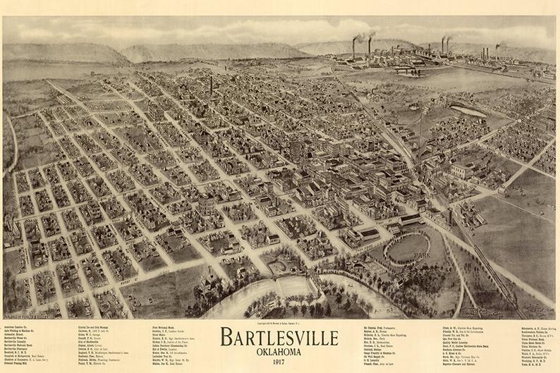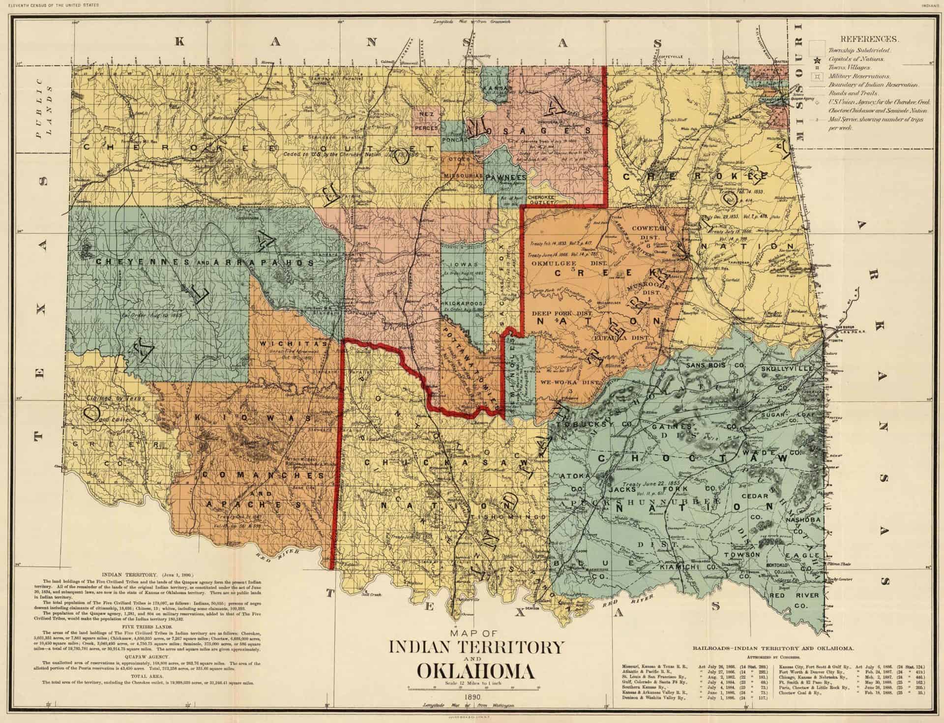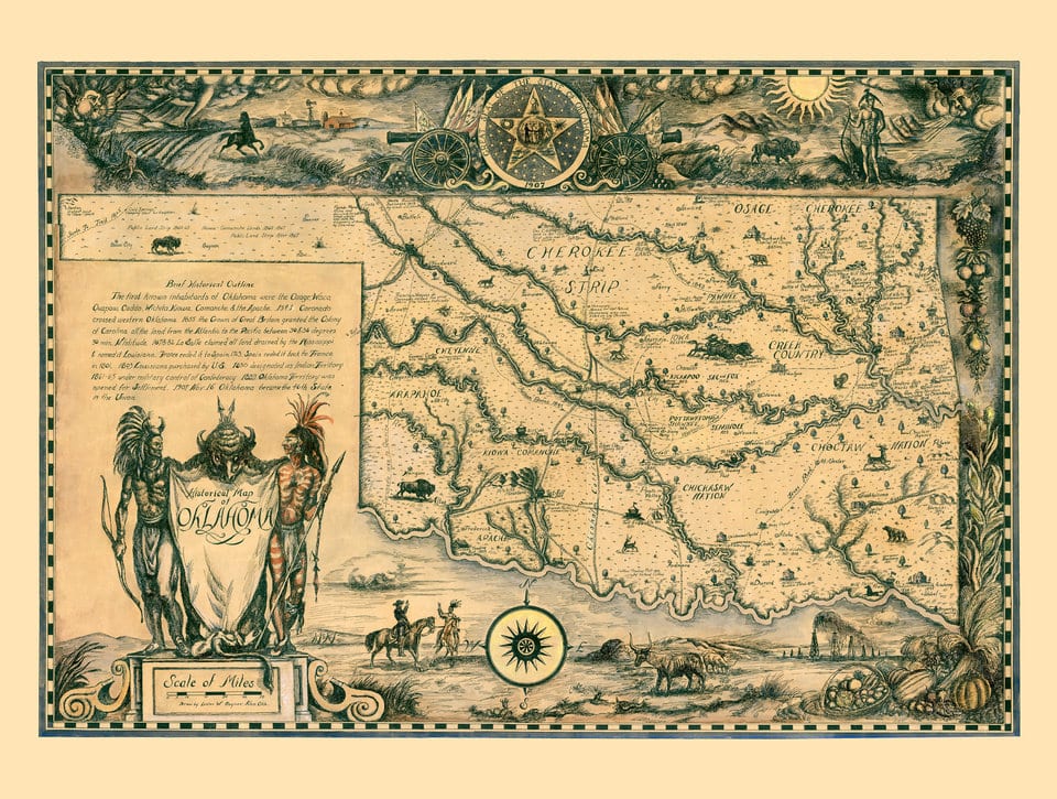
GIS MAPPING & OTHER MAP RESOURCES
GEOGRAPHIC INFORMATION SYSTEM (GIS)
The City of Bartlesville uses GIS (Geographic Information System) technology to view and plot place-based data. View interactive zoning maps, property information maps, lot boundary maps, and more by visiting the City of Bartlesville’s GIS Mapping page.
TIPS & TUTORIALS
Instructions for using web-map tools: Picture based instructions (pdf)
How to export a map image: How To Select&print-screen images.
OTHER RESOURCES
Washington County Assessors website: https://countycourthouse.org/pages/assessor
PRINTABLE MAPS
BASIC STREET MAPS:
- Bartlesville Downtown Aerial Imagery
- Bartlesville Street Map with Aerial Photo
- Bartlesville Street Map Wall Size
- Bartlesville Street Map Index Wall Size
- Bartlesville Basic Street Map Large Font
- Streets – 36x28wallmap (7mb) – with address ranges
WARD MAPS:
OTHER MAPS:
- Trail System Interactive map for Pathfinder Parkway
- Hudson Lake Map (4kb)
- Dewey_map&index
- FireZones-36x28wallmap (7mb)
- Fire hydrant
- Streets with Stormdrain-36x28wall (10mb)
- Floodplain 34×22
- Trash Routes Map
- population and precipitation
- Street-index 1pg.
TO ORDER PRINT COPIES
Do you want to purchase a, printed, wall map (or smaller), also digital data layer files? See the Copy, Mapping, & Digital Data Fee Schedule.
GIS Mapping
Click here to visit the City of Bartlesville’s GIS Mapping page.


